Quebrada, Iruya and Goodbye to Argentina
"It felt like leaving Narnia. Walking back out through the same door."
Eight days to cross northwestern Argentina from Salta to San Pedro de Atacama. The Quebrada de las Conchas, Cafayate, Route 40 on gravel, Iruya hanging off the mountainside and the Paso Jama to finish. It's the best of what Argentina has to offer, and it's also the chapter of goodbyes.
The Quebrada de las Conchas from Salta
At Matias's Moto Posada, getting up is a struggle. Our bodies still remember the 130 km of trail from the day before. We drag our feet, chat with Matias, he offers us his pressure washer to clean the bikes, and we finally roll out at noon — no big deal, we're not in any particular rush today. We've planned a short road stage to Cafayate.
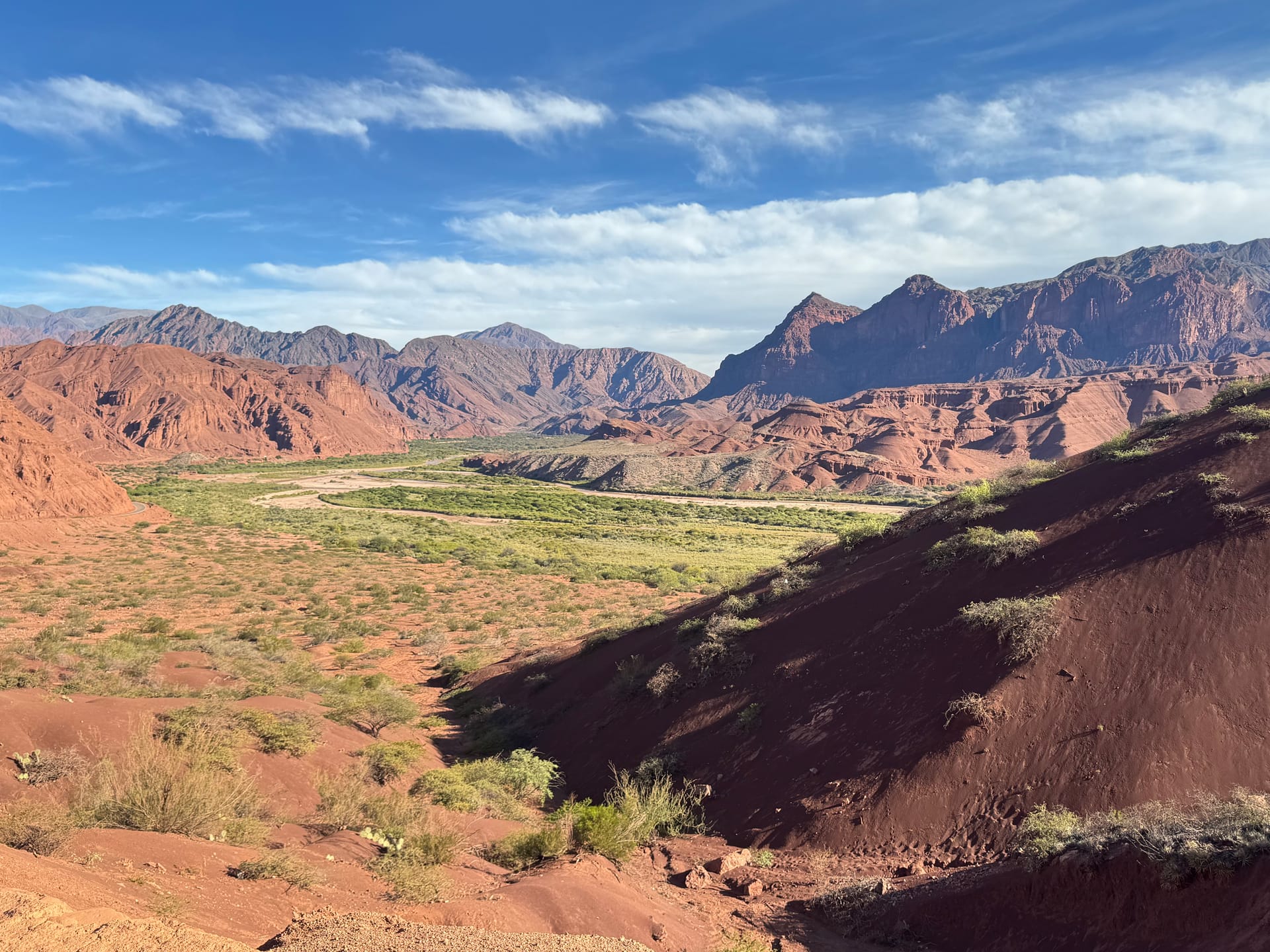
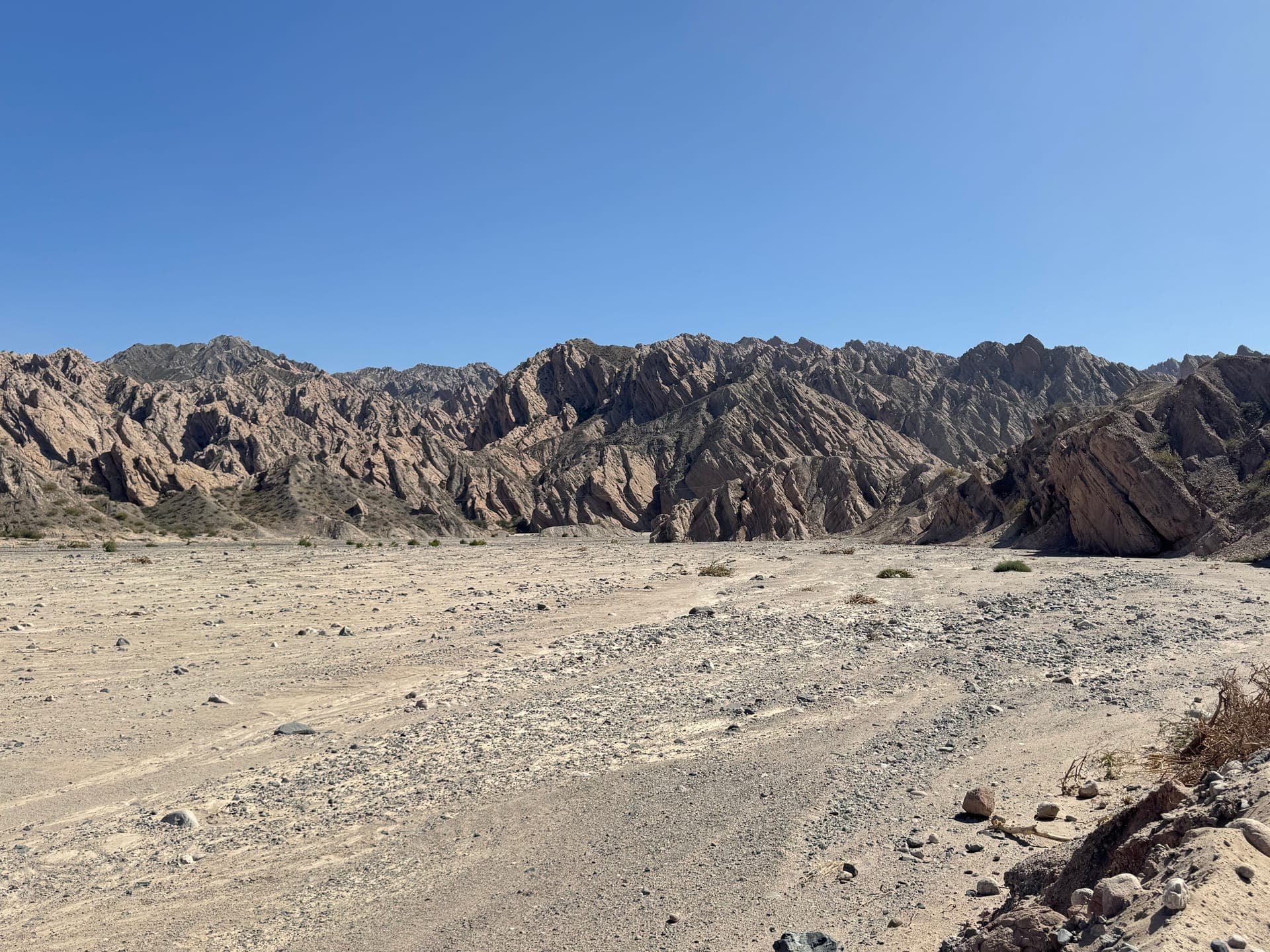
The first part of Route 68 is clogged with traffic and pretty dull. Then the Quebrada de las Conchas opens up. A canyon of red rock rising out of nowhere. The Garganta del Diablo first, then a natural amphitheater carved into the stone. Formations we couldn't have invented. It's very hot and we stop often to take photos. We reach Cafayate around 5:30 p.m. We decide to stay two nights.
Cafayate: the chores pile up
Eight days of non-stop riding, two passes above 4,000 m and a night trail: we need to catch our breath. On the agenda for our rest day: an Amazon order so Adeline's parents can bring a few things when they arrive in Peru soon, video editing for Thomas, taxes for both of us. The practical side of travel that you have to deal with at some point. Adeline takes a stroll around the main square, which is rather charming. Thomas works late. In the evening, we decide to have dinner at El Horristo, on Matias's recommendation. We're the only customers. It's fine, nothing more — we weren't expecting more from Argentine cuisine.
Route 40 on gravel and the Quebrada de las Flechas
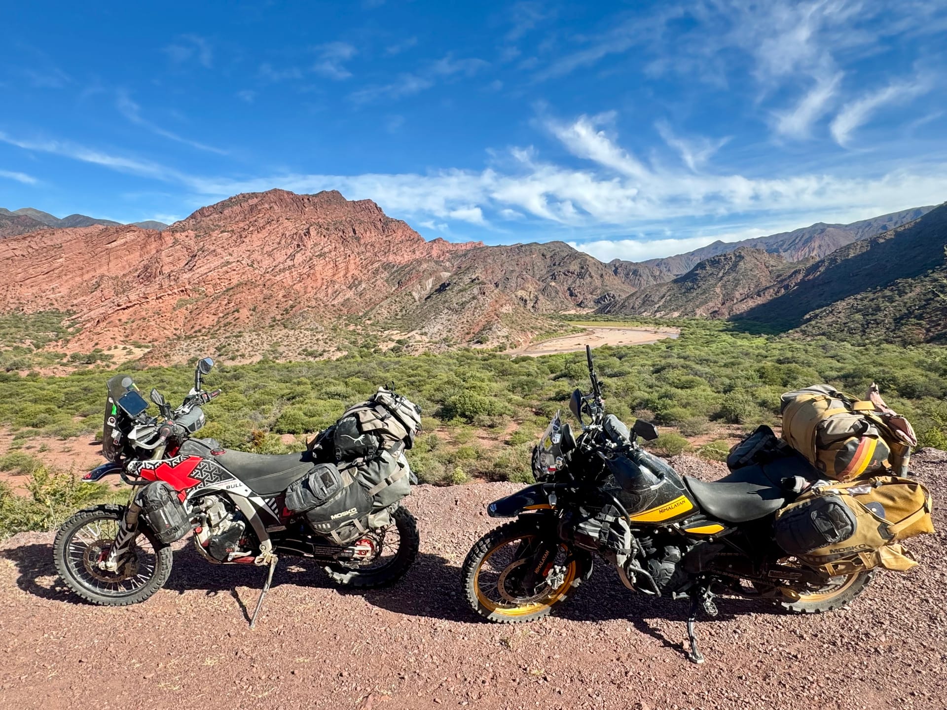
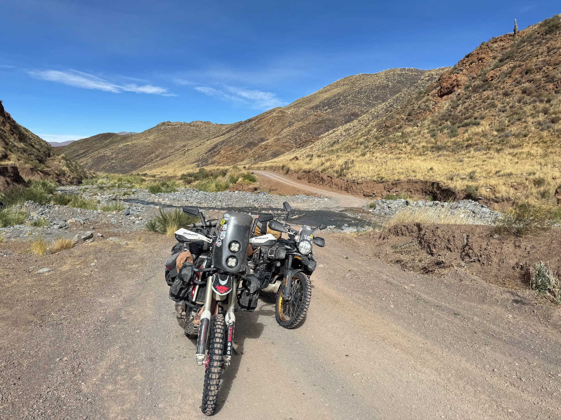
From Cafayate, 27 km of asphalt and then Route 40 stops being paved. The gas station attendant warned us the trail can be tricky — we'll see. The track alternates between washboard, rock and sand. First stretch of soft sand: Adeline gets a little bogged down, a twist of the throttle and she's off again.
The Quebrada de las Flechas arrives quickly. Gigantic rock formations that surge out of the track as if they wanted to block the way. It's incredible. We make good progress despite the unexpected sandy patches. After 100 km of trail, we stop at lunchtime on the main square of Molinos, a village lost in the middle of nowhere. We keep wondering how people manage to live out here. We carry on to Cachi to fill up. The attendant advises us not to go any further today: the track toward Abra del Acay is hard, and with the wind it's better to cross the pass in the morning. We have a booking in La Poma, just before — works out perfectly.
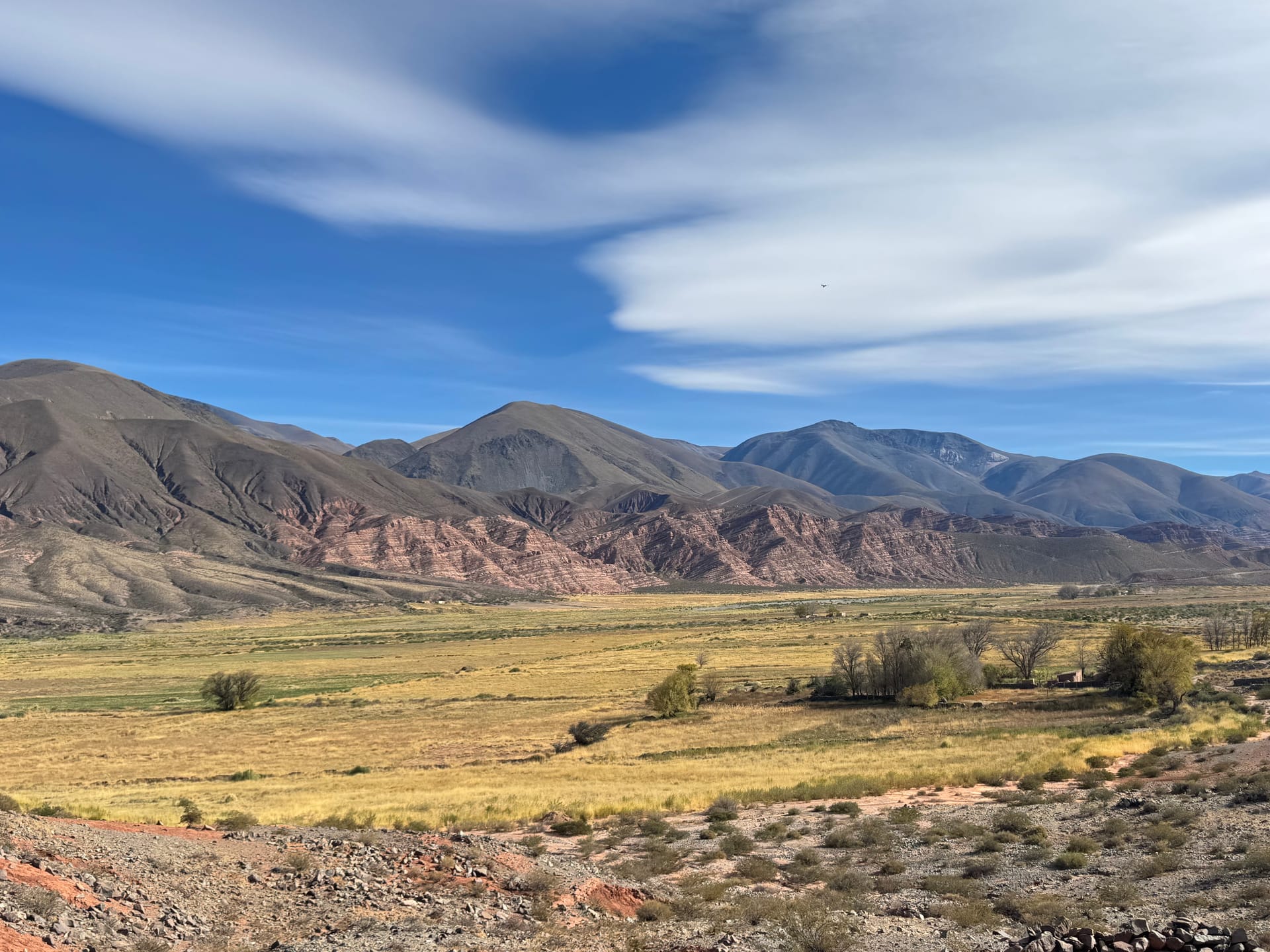
We reach La Poma in the late afternoon. The village sits in a breathtaking mountain cirque. We get checked at the entrance by the local police, a first on this trip, nothing to report. At the lodging, Thomas services the bikes by headlamp while Adeline discovers she's lost a flip-flop... Again. Instant noodles in the room, and lights out. We're wiped, but God it was beautiful.
A pass at 4,800 m, Salinas Grandes and Purmamarca
The next day, we leave in the frost. The bikes were covered in crystals when we woke up — that sets the tone. Route 40 toward Purmamarca climbs to 4,800 m, and the track is nothing like the Paso Agua Negra: some sections completely wrecked, fords including two that are really tricky. Adeline falls once, nothing serious. Managing the clutch in the hard sections still needs work. With some patience, we reach the top. Wind straight in the face, the cold, and an incredible view. We don't hang around too long.
It took us four hours to cover 91 km. We reach San Antonio starving and have ourselves a proper meal. In the afternoon we keep going on gravel, but it's far easier than the morning. We have 79 km to the Salinas Grandes. We come upon them almost by chance and we have to admit we're impressed: a white salt desert as far as the eye can see, very touristy, but the detour is worth it. We turn down the photographer who offers her services at 12,000 pesos per person. Too expensive.
Then, to close out the day, we take Route 52 toward Purmamarca; it's a paved road but the traffic is heavy. Thomas nearly has an accident overtaking a bus... the car behind had the same idea, but we make it in one piece. We're a little disappointed by Purmamarca: the town looks pretty in photos, but in practice it's a tourist trap. Tricky traffic, no garage at the place we picked, no kitchen, no wifi. The bikes spend the night outside with the locks on — we don't love that!
Hornocal and the road to Iruya
In the morning, everything goes sideways. The hot water for tea never comes, the bakery across the street has neither pastries nor coffee, the machine is broken. The town weighs on us. We load the bikes and flee. We stumble on a café at the edge of town: coffee and ham-and-cheese croissants set us right.
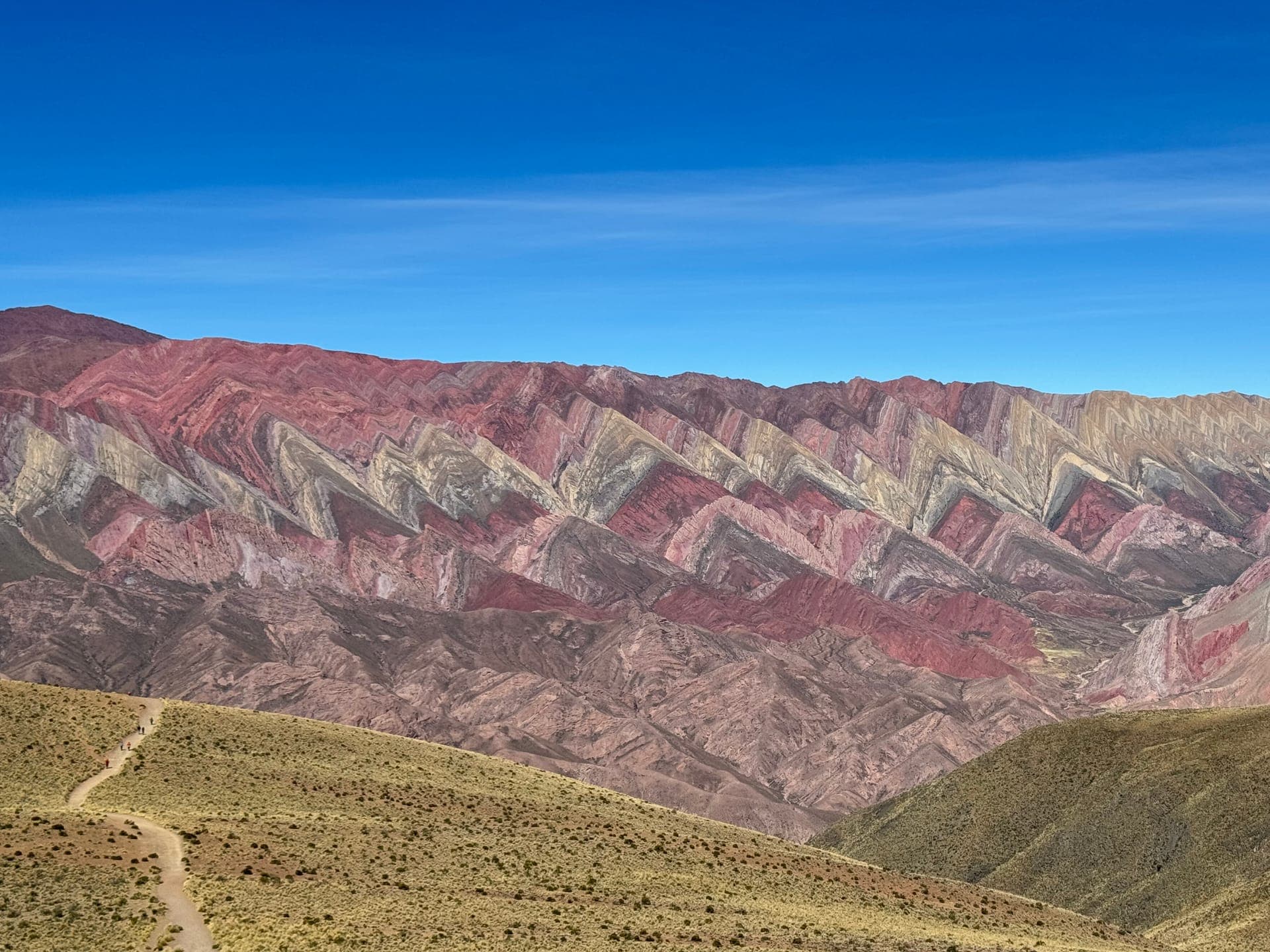
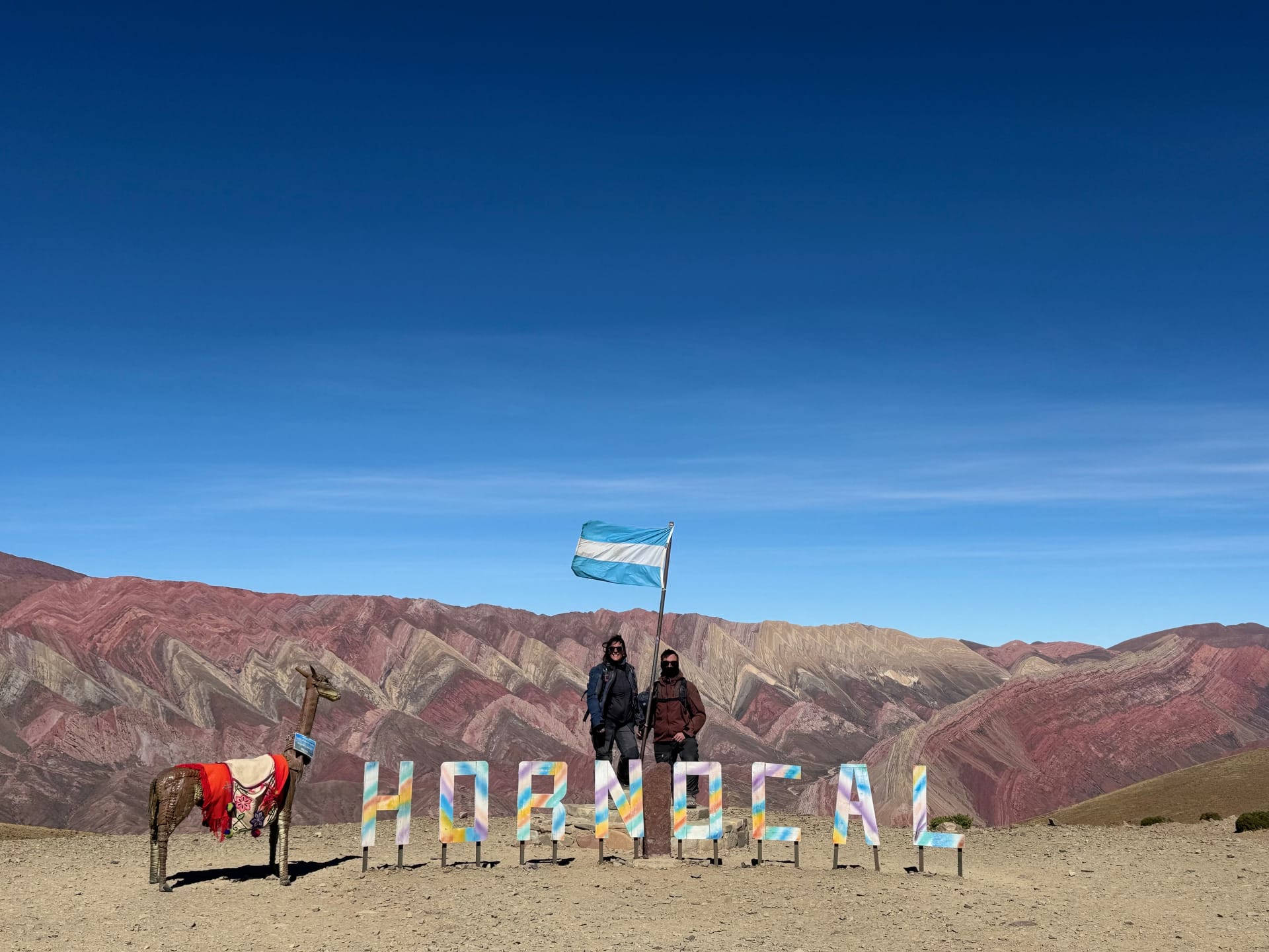
On to Hornocal, the mountain of 14 colors. The access track is easy, it's a hugely popular spot. Along the way, we cross paths with three riders: two Brazilians and a Frenchman coming from Cachi. They ask us what's at the top and eventually decide to follow us. It's incredible. Layers of color streaking the mountain over hundreds of meters of height. 2,000 pesos to get in, 1,000 pesos for the toilets, everything has a price. We buy a tortilla to warm up, take our photos, chat with the three riders. They're also heading to Iruya. See you there for a beer.
From Iturbe, it's 46 km of trail to reach Iruya. In all honesty, the track is easy. But it's long. Tight bends, climbing then dropping for kilometers on end. It's starting to get cold and we're a bit fed up.
Iruya: the village at the end of the world
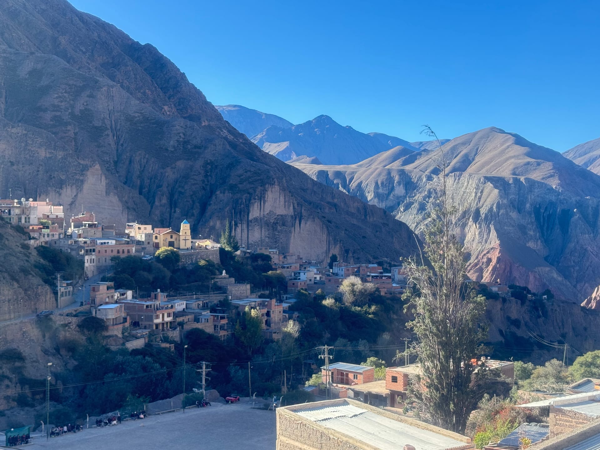
We take the wrong turn on arrival. We head up a steep paved road, and it's not the right one. Impossible to turn around with the engine running: we turn the bikes around by hand. The descent is impressive, but we manage. We loop around the hill and arrive from the right side.
At the lodging, we decide to park the bikes in the hostel's garage, which is at the bottom of the slope we've just climbed. So down we go again. It's not convenient, but with the cold setting in, we'd rather keep the bikes sheltered. We take the chance to clean the chains and filters. Coming out of the garage, it's snowing. Sleet, a few flakes. What the fuck.
We meet the three riders at the restaurant for dinner. It's not great for the budget, but it's nice to share a friendly moment with other travelers. It's freezing when we step out, but the town embedded in the cliff is worth seeing at night.
On Sunday morning, we get up at 8:45 to get the bikes out of the garage: there's a football tournament and they need the space. We're impressed by the number of teams in this village lost in the Andes. Iruya is cut off, with a single access road. You can't go any further, and yet there are people here and the place is touristy.
Thomas goes back to bed with a headache while Adeline plans what's next: San Pedro de Atacama, the lagoon route, oil for the changes, the Bolivian pesos to find, etc. We enjoy the sun on the terrace to plan the rest of the trip — it's actually really pleasant. The setting is incredible, and the weather is mild. As soon as the sun disappears, though, you'd better get somewhere warm.
Goodbye to Argentina
We leave Iruya via the 50 km of trail we took two days earlier. Coming back out onto Route 9, it feels like we spent 48 hours in an enchanted village and walked back out through the same door. Something stays up there.
We stop in Abra Pampa for lunch and we no longer feel like we're in Argentina. People's faces, the town's poverty, the infrastructure: it already feels like we've changed countries, as if Bolivia had begun without us crossing a border. We stop at a little hole-in-the-wall: 7,000 pesos per person, and it's delicious. It took the far north of Argentina to finally eat well.
Argentina is a battered country. The economy doesn't work, you can see it in the towns, in the shops, in the roads. But the landscapes are breathtaking and the people are unfailingly kind. We'll have spent three months here. It's a big chunk of the trip, so on the eve of crossing the border one last time toward Chile, our hearts genuinely ache.
Paso Jama and San Pedro de Atacama
On May 12, the bikes read 2°C at departure. We're well bundled up, thankfully, because it's bitterly cold. At the gas station, no more pesos: we pay in dollars. She quibbles a bit over the bills, but we work it out. It takes us more than an hour to get through customs, there's a crowd and it's slow going.
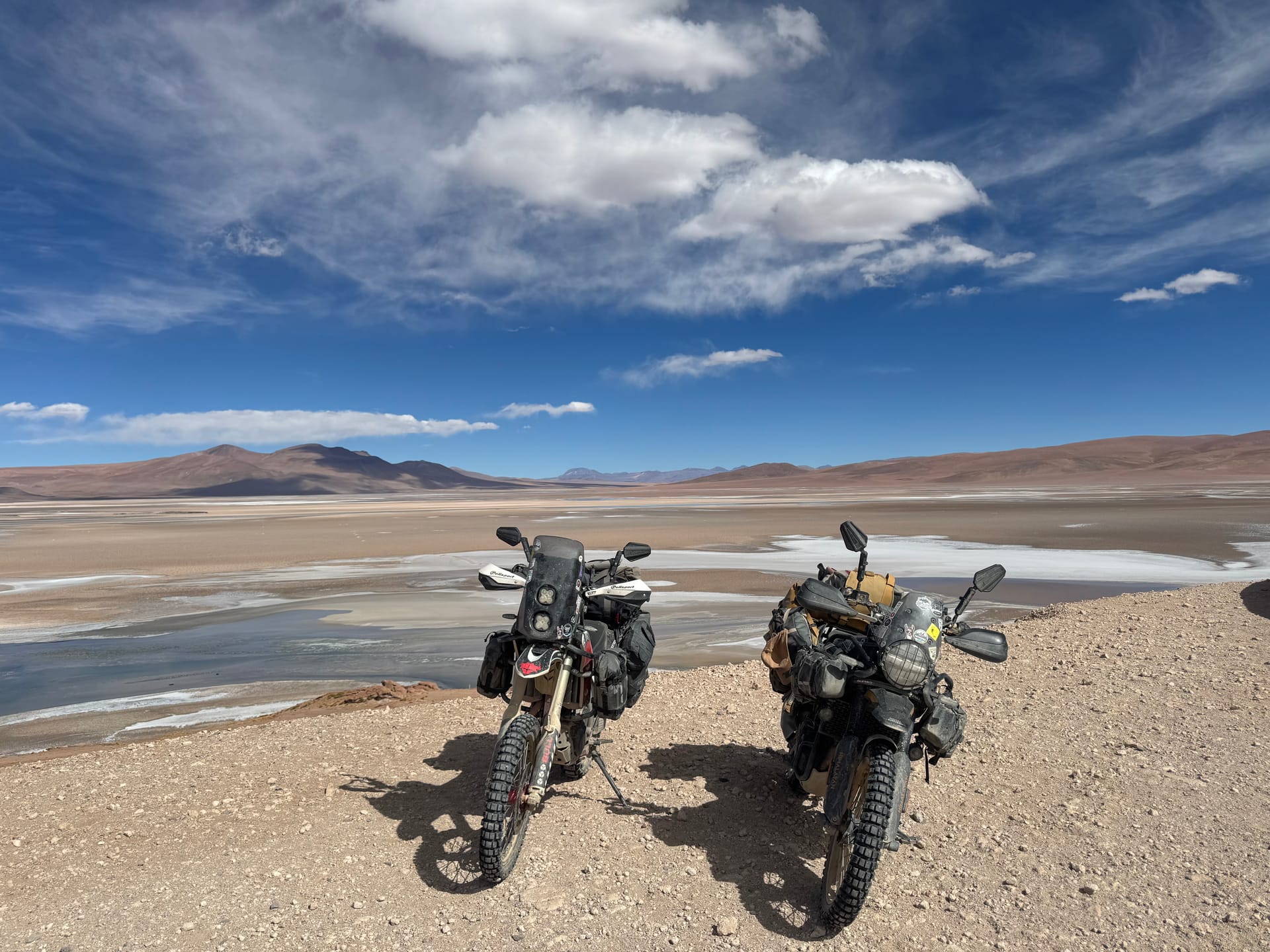
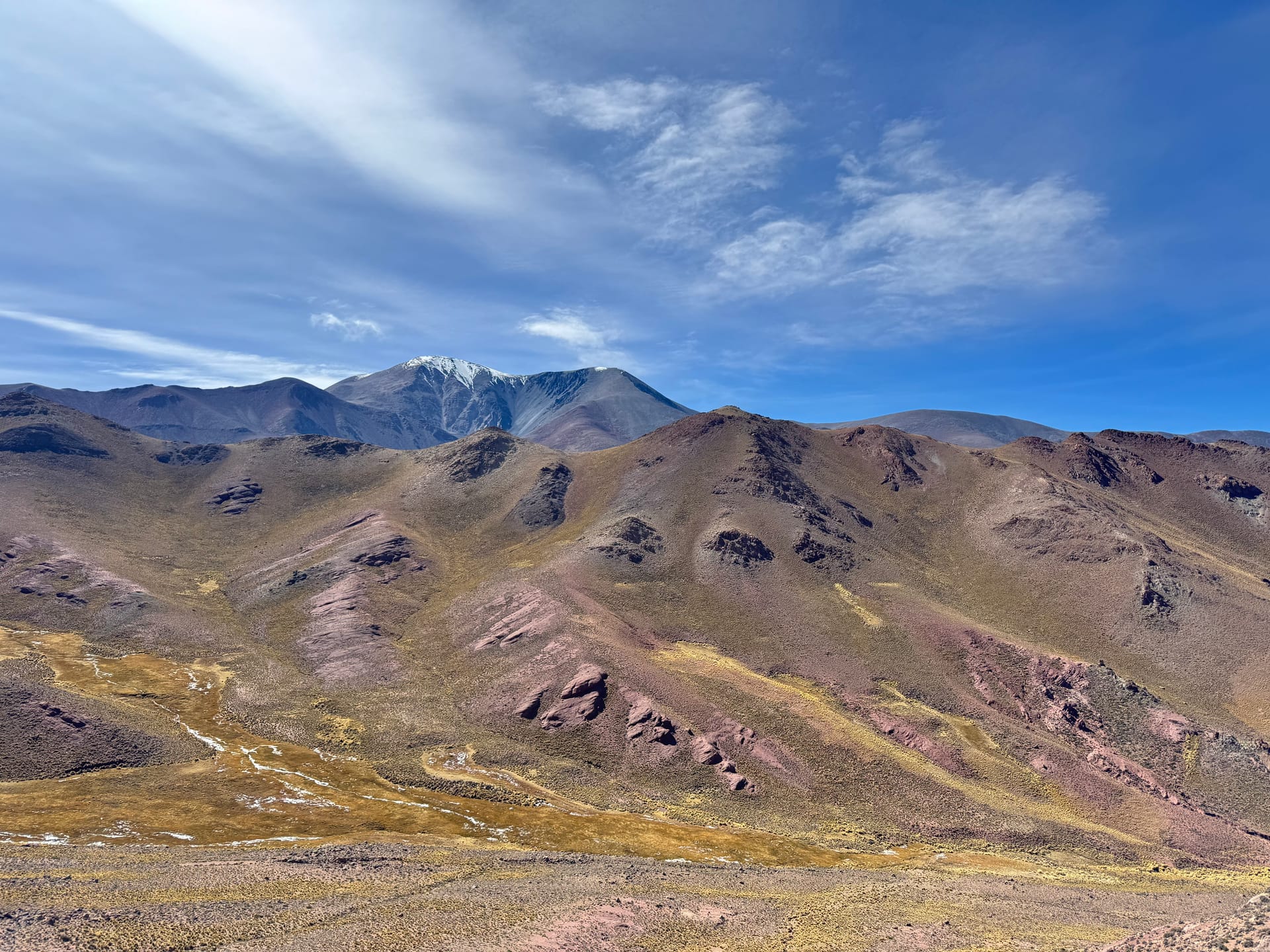
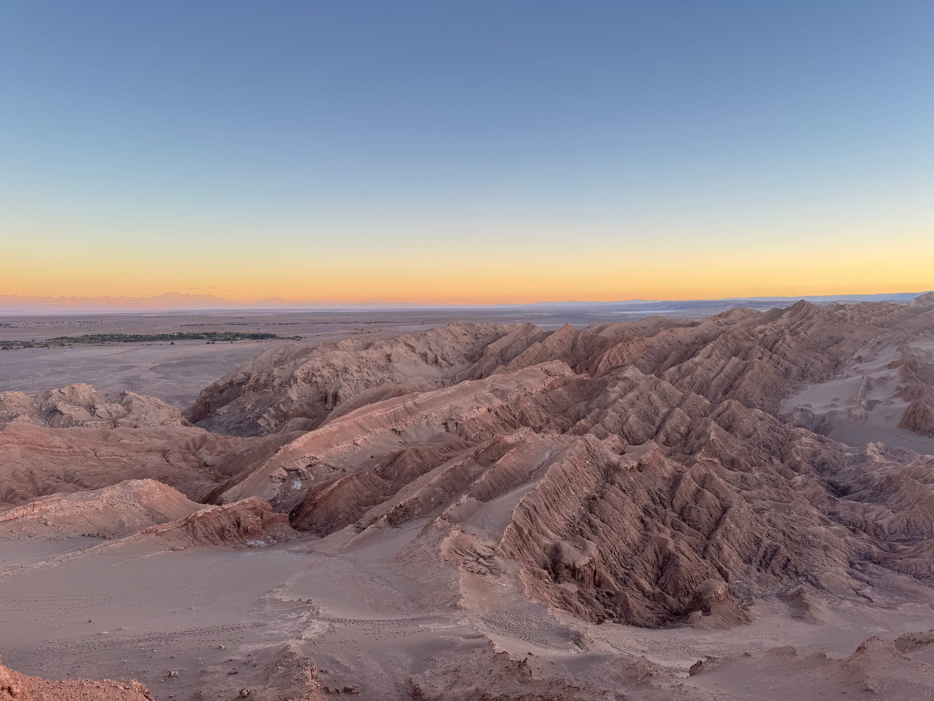
We then spend more than two hours at 4,500 m of altitude. Turquoise lagoons in the middle of salt deserts, a few flamingos that look incongruous in this lunar landscape, volcanoes blocking the horizon. Thomas is mesmerized. We're freezing but it's wow. We drop 2,000 m over 40 km down to San Pedro de Atacama. The wave of heat in our faces on arrival feels almost strange.
The town emerges from the desert, ringed by volcanoes. It's beautiful, it's unexpected. We stop for lunch, 7,500 Chilean pesos for the midday menu. We've taken an Airbnb for three days: a whole apartment, a couch, a table, a kitchen — we relish this little break. The oil changes, the bike maintenance and the prep for the Bolivian lagoon route can begin.
Follow our adventures
Get an email for every new article.